Official Discussion issued by the National Hurricane Center
Tammy (AL202023) DATA RELEASED: 10/27/2023 3:00:00 PM UTC
|
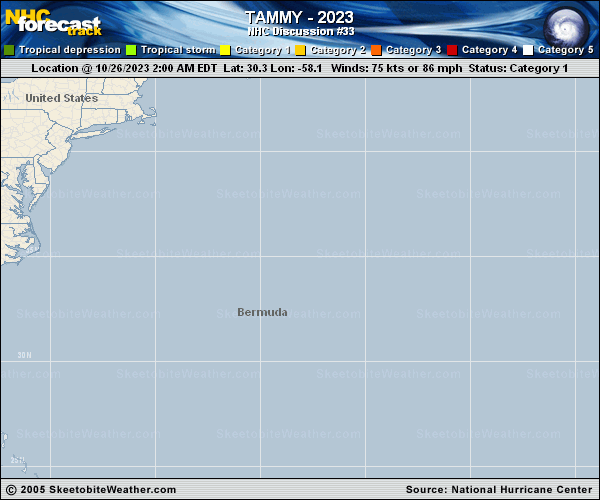
Copy of official data Tropical Storm Tammy Discussion Number 33 NWS National Hurricane Center Miami FL AL202023 1100 AM AST Fri Oct 27 2023 Tammy appears to have become separate from the frontal zone in which it was formerly embedded. Satellite imagery shows that moderately deep convection has developed in a fairly symmetrical pattern near the center, and there are also convective bands surrounding the center. This change in structure indicates that the system has evolved back into a tropical cyclone, so advisories are being re-initiated on Tammy. Extrapolation of earlier scatterometer data suggest that the current intensity is around 55 kt. Over the next few days, the atmospheric and oceanic environment for Tammy should result in gradual weakening. The cyclone is currently over marginal SSTs, and westerly vertical wind shear is likely to increase. Later in the forecast period, Tammy will probably move over slightly warmer waters, but dry air and strong shear will likely cause continued weakening. The official intensity forecast is on the high side of the model guidance and shows the cyclone weakening to a depression in 5 days, although given the environment this may occur sooner. The storm is drifting slowly northwestward, with a motion near 320/3 kt. Tammy should turn eastward in 12 to 24 hours under the influence of mid-level westerly flow on the north side of a subtropical ridge. Later in the forecast period, the system is expected to turn southeastward and southward on the eastern side of a subtropical anticyclone and west of a broad trough over the eastern Atlantic. The official forecast is similar to, but somewhat slower than, the model consensus prediction and roughly in the middle of the track guidance suite. Gusty winds are expected in Bermuda through tonight, and a gale warning is in effect for that island. FORECAST POSITIONS AND MAX WINDS INIT 27/1500Z 32.2N 61.1W 55 KT 65 MPH 12H 28/0000Z 32.4N 61.3W 55 KT 65 MPH 24H 28/1200Z 32.7N 59.9W 50 KT 60 MPH 36H 29/0000Z 32.5N 57.5W 45 KT 50 MPH 48H 29/1200Z 32.0N 54.5W 45 KT 50 MPH 60H 30/0000Z 30.7N 51.4W 40 KT 45 MPH 72H 30/1200Z 29.0N 50.0W 40 KT 45 MPH 96H 31/1200Z 27.5N 50.0W 35 KT 40 MPH 120H 01/1200Z 28.0N 51.0W 30 KT 35 MPH $$ Forecaster Pasch |