Official Discussion issued by the National Hurricane Center
Nineteen (AL192023) DATA RELEASED: 10/11/2023 3:00:00 AM UTC
|
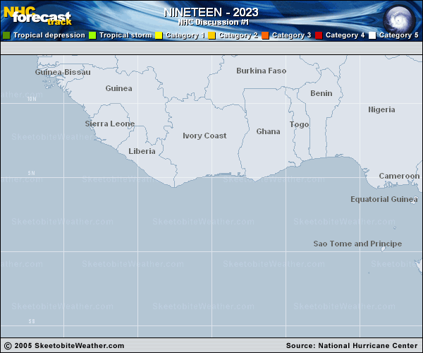
Copy of official data Tropical Depression Nineteen Discussion Number 1 NWS National Hurricane Center Miami FL AL192023 1100 PM AST Tue Oct 10 2023 The area of disturbed weather (AL92) that NHC has been monitoring the past several days has acquired enough organization for the system to be designated as a tropical depression. Although the ASCAT instrument has missed the system during the past day or so, geostationary satellite imagery and an earlier SSMIS microwave overpass suggests that the circulation has become better defined. Subjective satellite intensity estimates from TAFB and SAB were T2.5 (35 kt), but given the loose nature of the banding, the initial wind speed is set at 30 kt for this advisory. Given the large and sprawling current structure of the system, strengthening is likely to be slow to occur during the next day or so while it remains within low to moderate shear conditions. After that time, the cyclone is forecast to approach an upper-level trough over the central tropical Atlantic which will likely cause an increase in southwesterly vertical wind shear. As a result, little change in strength is shown during the middle portion of the forecast period. Late in the period, decreasing mid-level humidity is likely to cause additional weakening. The ECMWF and GFS models show the system losing convection over the weekend, whereas the UKMET and Canadian keep the system a tropical cyclone for longer. The NHC forecast shows weakening by day 4 and degeneration into a remnant low by day 5, but it is possible that the system loses tropical cyclone status sooner. The depression is moving westward at a somewhat uncertain 11 kt. A mid-level ridge located to the northeast of the cyclone should steer it west-northwestward to northwestward through Friday. Very late in the forecast period, a bend back toward the west-northwest could occur as the cyclone weakens and is steered by the low-level trade wind flow. The models do not differ much on the overall scenario, but the GFS takes a somewhat stronger system more poleward within the first few days, while the ECMWF is faster and farther west. This first NHC track on the depression lies close to the various consensus aids. FORECAST POSITIONS AND MAX WINDS INIT 11/0300Z 9.7N 32.0W 30 KT 35 MPH 12H 11/1200Z 10.1N 33.7W 35 KT 40 MPH 24H 12/0000Z 10.7N 35.5W 40 KT 45 MPH 36H 12/1200Z 11.4N 37.0W 40 KT 45 MPH 48H 13/0000Z 12.2N 38.7W 40 KT 45 MPH 60H 13/1200Z 13.1N 40.1W 40 KT 45 MPH 72H 14/0000Z 14.2N 41.3W 40 KT 45 MPH 96H 15/0000Z 16.2N 43.3W 35 KT 40 MPH 120H 16/0000Z 17.5N 45.1W 30 KT 35 MPH...POST-TROP/REMNT LOW $$ Forecaster Brown |