Official Discussion issued by the National Hurricane Center
Nigel (AL152023) DATA RELEASED: 9/21/2023 3:00:00 AM UTC
|
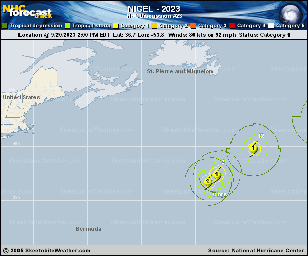
Copy of official data Hurricane Nigel Discussion Number 23 NWS National Hurricane Center Miami FL AL152023 1100 PM AST Wed Sep 20 2023 Geostationary satellite imagery shows Nigel's outflow being impinged upon by an upstream trough. Still, the hurricane has maintained its large, ragged eye surrounded by deep convection with cloud top temperatures ranging from -60 to -70 degrees C. Subjective Dvorak estimates from TAFB and SAB were both T4.5/77 kt, and the initial intensity is held at 80 kt for this advisory. The hurricane has begun to accelerate northeastward at an estimated 045/22 kt. Nigel's forward speed is expected to increase through Friday in the flow ahead of the mid-latitude trough exiting the northeast US coast. By the weekend, global models show Nigel interacting with a large extratropical system over the North Atlantic. Little changes have been made to the latest NHC forecast, which is largely an update of the previous prediction. Nigel is nearing the 26 degree isotherm and should cross over it in a few hours. Deep-layer vertical wind shear is also expected to increase significantly over the next 24 hours. Nigel should begin to transition into an extratropical cyclone soon, and this process is expected to be complete in about 48 hours. The official intensity prediction shows gradual weakening through day 2, and Nigel is forecast to become a powerful extratropical cyclone on Friday. By the end of the forecast period, Nigel should be absorbed by the larger mid-latitude cyclone mentioned previously. FORECAST POSITIONS AND MAX WINDS INIT 21/0300Z 39.0N 50.4W 80 KT 90 MPH 12H 21/1200Z 41.2N 46.4W 75 KT 85 MPH 24H 22/0000Z 44.2N 39.1W 70 KT 80 MPH 36H 22/1200Z 47.3N 31.2W 60 KT 70 MPH 48H 23/0000Z 50.9N 25.4W 50 KT 60 MPH...POST-TROP/EXTRATROP 60H 23/1200Z 54.9N 22.8W 50 KT 60 MPH...POST-TROP/EXTRATROP 72H 24/0000Z 56.6N 22.8W 45 KT 50 MPH...POST-TROP/EXTRATROP 96H 25/0000Z 58.0N 23.0W 40 KT 45 MPH...POST-TROP/EXTRATROP 120H 26/0000Z...DISSIPATED $$ Forecaster Bucci |