Official Discussion issued by the National Hurricane Center
(AL132023) DATA RELEASED: 9/17/2023 3:00:00 PM UTC
|
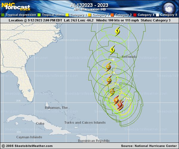
Copy of official data Post-Tropical Cyclone Lee Discussion Number 49 NWS National Hurricane Center Miami FL AL132023 1100 AM AST Sun Sep 17 2023 Environment Canada has discontinued all Tropical Storm Warnings. Post-Tropical Lee is moving toward the northeast and will likely pass over Newfoundland later today. The cyclone should accelerate east-northeastward and merge with a large extratropical low over the North Atlantic in a couple of days. This is the last advisory from the National Hurricane Center on Lee. Additional information on this system can be found in High Seas Forecasts issued by the National Weather Service, under AWIPS header NFDHSFAT1, WMO header FZNT01 KWBC, and online at ocean.weather.gov/shtml/NFDHSFAT1.php KEY MESSAGES: 1. Gusty conditions will continue over portions of Atlantic Canada today. 2. Dangerous surf and life-threatening rip currents will continue to affect the U.S. East Coast, Atlantic Canada, Bermuda, the Bahamas, the Turks and Caicos Islands, Hispaniola, and Puerto Rico through Monday. FORECAST POSITIONS AND MAX WINDS INIT 17/1500Z 48.0N 62.0W 40 KT 45 MPH...POST-TROP/EXTRATROP 12H 18/0000Z 50.0N 56.8W 40 KT 45 MPH...POST-TROP/EXTRATROP 24H 18/1200Z 52.7N 47.3W 35 KT 40 MPH...POST-TROP/EXTRATROP 36H 19/0000Z 54.0N 34.0W 35 KT 40 MPH...POST-TROP/EXTRATROP 48H 19/1200Z...DISSIPATED $$ Forecaster Pasch |