Official Discussion issued by the National Hurricane Center
(AL102023) DATA RELEASED: 9/1/2023 9:00:00 AM UTC
|
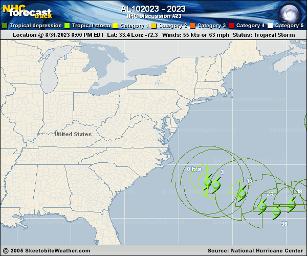
Copy of official data Post-Tropical Cyclone Idalia Discussion Number 23 NWS National Hurricane Center Miami FL AL102023 500 AM AST Fri Sep 01 2023 Idalia remains an extratropical cyclone with a front extending to the northeast of the center. The system also continues to be devoid of deep convection. An earlier ASCAT-B scatterometer overpass caught the western portion of the circulation and it revealed peak winds of around 45 kt. Based on that data, the initial intensity has been lowered to 50 kt for this advisory. The cyclone appears to be turning east-southeast and slowing down as forecast. An even slower east-southeast to eastward motion is expected during the next 24 to 36 hours as a mid-latitude trough passes to the north of the system. Another shortwave trough exiting the Mid-Atlantic coast of the United States on Sunday is expected to cause Idalia to begin moving faster toward the northeast later in the weekend. There is tremendous spread in the track guidance after 72 hours. The ECMWF takes Idalia northward ahead of the aforementioned trough, while the GFS keeps a much weaker cyclone meandering over the central subtropical Atlantic. The latest NHC track forecast lies between these extremes and is close to the multi-model consensus aids and the GFS ensemble mean. Additional weakening is expected during the next 12-24 hours. After that time, simulated satellite imagery from the GFS and ECMWF indicate that deep convection is likely to return, potentially transitioning Idalia back to a tropical cyclone when it is near Bermuda. Some slight re-strengthening is predicted during that time. Later in the forecast period, little change in strength is forecast as vertical wind shear increases and Idalia is likely to transition to an extratropical cyclone once again. The extratropical transition has been moved up to 96 hours, but the latest ECMWF run suggests that the transition could occur much sooner. Given the differences in the global models regarding the structure and track of Idalia after 72 hours, there is significant uncertainty in the long range track and intensity forecast for this system. KEY MESSAGES: 1. Tropical storm conditions are possible in Bermuda by Saturday. Heavy rainfall will likely lead to areas of flash and urban flooding on the island. FORECAST POSITIONS AND MAX WINDS INIT 01/0900Z 32.6N 69.8W 50 KT 60 MPH...POST-TROPICAL 12H 01/1800Z 31.8N 67.9W 45 KT 50 MPH...POST-TROP/EXTRATROP 24H 02/0600Z 31.0N 66.3W 40 KT 45 MPH...POST-TROP/EXTRATROP 36H 02/1800Z 31.0N 65.2W 40 KT 45 MPH...TROPICAL CYCLONE 48H 03/0600Z 31.7N 63.6W 45 KT 50 MPH 60H 03/1800Z 33.2N 61.8W 50 KT 60 MPH 72H 04/0600Z 34.6N 60.2W 50 KT 60 MPH 96H 05/0600Z 37.0N 58.7W 45 KT 50 MPH...POST-TROP/EXTRATROP 120H 06/0600Z 38.5N 59.3W 45 KT 50 MPH...POST-TROP/EXTRATROP $$ Forecaster Brown |