Official Discussion issued by the National Hurricane Center
Idalia (AL102023) DATA RELEASED: 8/31/2023 3:00:00 AM UTC
|
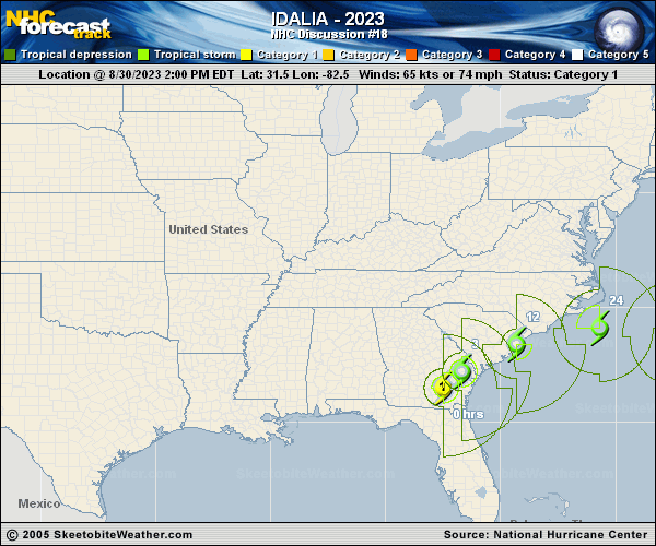
Copy of official data Tropical Storm Idalia Discussion Number 18 NWS National Hurricane Center Miami FL AL102023 1100 PM EDT Wed Aug 30 2023 Idalia continues to have an asymmetric presentation on radar and satellite imagery, in the presence of strong upper-level southwesterly winds. Surface observations indicate that the circulation is somewhat elongated from southwest to northeast as the system interacts with a coastal front, and the system is producing very heavy precipitation over portions of South and North Carolina. Assuming some slow weakening has taken place since this afternoon, the intensity is set at 50 kt, although this may still be generous. The initial motion estimate remains around 035/18 kt. Idalia continues to move between the northwestern periphery of a mid-level anticyclone near the Bahamas and an eastward-moving mid-tropospheric trough over the northeastern United States. The dynamical guidance indicates that the anticyclone will retrograde westward, and result in Idalia moving eastward to east-southeastward on its northern side for the next several days. Although it seems likely that the cyclone will move rather slowly in the 2- to 5-day time frame, the details of its track are uncertain due to significant track model differences in the latter part of the forecast period. The official forecast is similar to the previous NHC track and roughly in the middle of the guidance. Since Idalia is now fairly close to the coast with a lot of its circulation over water, not much additional weakening is anticipated. However, the system's interaction with the coastal front, along with the ongoing strong upper-level flow, suggest that it will not be able to strengthen even after moving over the western Atlantic waters. This is also indicated by much of the intensity guidance models. As noted earlier, the system could lose organized deep convection in a few days and degenerate into a post-tropical cyclone, as suggested by the GFS model-simulated satellite imagery. For now, however, the official forecast again retains the system as a tropical storm for the entire forecast period. KEY MESSAGES: 1. Storm surge is expected along the southeastern U.S. coast within the Storm Surge Warning area through tonight. Coastal flooding is also expected within the Storm Surge Watch area in North Carolina on Thursday. Residents in these areas should follow any advice given by local officials. 2. Tropical-storm-force winds will affect portions of the southeastern U.S. coast through Thursday. 3. Areas of flash, urban, and moderate river flooding, with considerable impacts, are expected from eastern South Carolina through eastern North Carolina into Thursday. FORECAST POSITIONS AND MAX WINDS INIT 31/0300Z 33.0N 80.0W 50 KT 60 MPH...INLAND 12H 31/1200Z 33.9N 77.4W 50 KT 60 MPH...OVER WATER 24H 01/0000Z 33.9N 73.8W 50 KT 60 MPH 36H 01/1200Z 33.2N 70.9W 45 KT 50 MPH 48H 02/0000Z 32.3N 69.0W 45 KT 50 MPH 60H 02/1200Z 31.6N 68.2W 45 KT 50 MPH 72H 03/0000Z 31.4N 67.6W 45 KT 50 MPH 96H 04/0000Z 32.0N 65.4W 45 KT 50 MPH 120H 05/0000Z 33.5N 63.0W 45 KT 50 MPH $$ Forecaster Pasch |