Official Discussion issued by the National Hurricane Center
Gert (AL062023) DATA RELEASED: 9/1/2023 9:00:00 AM UTC
|
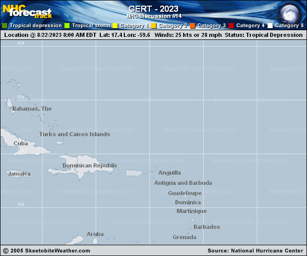
Copy of official data Tropical Depression Gert Discussion Number 14 NWS National Hurricane Center Miami FL AL062023 500 AM AST Fri Sep 01 2023 After more than a week of meandering over the central Atlantic, the circulation of former Tropical Storm Gert has again become well defined, and the system has acquired enough persistent and organized deep convection for it to be classified as a tropical depression once again. A recent AMSR2 microwave overpass shows that the small circulation is located near the northeastern portion of the persistent convective mass. The initial intensity is set at 30 kt and is based on the latest subjective Dvorak estimates from TAFB and SAB. Gert is located within an area of moderate to strong shear. The shear is forecast to increase even more in the next 18-24 hours which should limit strengthening, however Gert could re-gain tropical storm status today. Over the weekend, gradual weakening is expected when the upper-level environment becomes more hostile. The global models are in relatively good agreement that Gert will be absorbed by the larger circulation of Idalia when it is over the central Atlantic in 3 to 4 days. Gert is moving eastward at about 7 kt. The eastward motion should continue today, but by Saturday, Gert is forecast to turn northeastward as it is steered around the low- to mid-level flow around the eastern side of the larger circulation of Idalia. By 48 hours Gert should turn northward around the eastern flank of Idalia and that motion should continue until dissipation occurs. The track guidance is in good agreement on the overall scenario but there are significant differences in Gert's forward speed. The NHC track is a blend of the GFS and ECMWF models. FORECAST POSITIONS AND MAX WINDS INIT 01/0900Z 28.7N 55.0W 30 KT 35 MPH 12H 01/1800Z 28.7N 54.0W 35 KT 40 MPH 24H 02/0600Z 29.1N 53.1W 35 KT 40 MPH 36H 02/1800Z 29.7N 52.6W 30 KT 35 MPH 48H 03/0600Z 30.7N 52.2W 30 KT 35 MPH 60H 03/1800Z 32.3N 51.8W 30 KT 35 MPH 72H 04/0600Z 34.7N 51.7W 25 KT 30 MPH 96H 05/0600Z...DISSIPATED $$ Forecaster Brown |