Official Discussion issued by the National Hurricane Center
Isaac (AL102024) DATA RELEASED: 9/27/2024 9:00:00 AM UTC
|
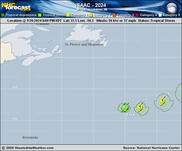
Copy of official data Hurricane Isaac Discussion Number 6 NWS National Hurricane Center Miami FL AL102024 500 AM AST Fri Sep 27 2024 Isaac has continued to become better organized since the prior advisory. The earlier warm spot noted on IR satellite imagery has persisted and warmed further, with sufficently cold -55 to -60 C convective cloud tops encircling the feature. A helpful AMSR2 pass that became available after the prior advisory also showed an eye feature on both the 89-GHz and 37-GHz channels, the latter showing a cyan ring. These features suggest that Isaac has become a hurricane, and the initial intensity has been raised to 65 kt for this advisory. Isaac still is moving generally eastward this morning, estimated at 090/10 kt. This motion with a gradual turn to the east-northeast should occur over the next couple of days as the hurricane remains steered mostly by deep-layer flow along the northern periphery of a mid-level ridge centered to the southeast of Isaac. Once again, how quick this forward motion ends up being will be critical for its ultimate track down the road, with a track bifurcation continuing between the GFS and ECMWF solutions occuring beyond 60 h as to how much the upstream trough located to its east is able to interact and pick up the cyclone. Despite the spread in the guidance, the consensus aids are not that much altered from the prior cycle, and the NHC track forecast is quite similar to the prior advisory. Additional intensification is expected while the vertical wind shear remains only low to moderate and Isaac continues to be over sufficently warm sea-surface temperatures (SSTs) with instability being aided by cold upper-level temperatures. After 36 h, SSTs drop to 24 C and lower as shear increases markedly, which should induce a gradual weakening trend. Both the GFS and ECMWF suggest the cyclone should lose its deep convection sometime in the 72-96 h period, marking its transition to post-tropical in that time frame. The NHC intensity forecast is on the high side of the guidance, but is generally in line with the latest GFS-based SHIPS and LGEM guidance. FORECAST POSITIONS AND MAX WINDS INIT 27/0900Z 37.0N 48.5W 65 KT 75 MPH 12H 27/1800Z 37.5N 45.9W 70 KT 80 MPH 24H 28/0600Z 38.8N 42.4W 75 KT 85 MPH 36H 28/1800Z 40.4N 39.3W 75 KT 85 MPH 48H 29/0600Z 41.8N 37.3W 70 KT 80 MPH 60H 29/1800Z 43.1N 35.9W 60 KT 70 MPH 72H 30/0600Z 44.0N 34.3W 55 KT 65 MPH 96H 01/0600Z 46.9N 30.4W 45 KT 50 MPH...POST-TROP/EXTRATROP 120H 02/0600Z 50.4N 26.2W 35 KT 40 MPH...POST-TROP/EXTRATROP $$ Forecaster Papin |