Official Discussion issued by the National Hurricane Center
Beryl (AL022024) DATA RELEASED: 6/29/2024 3:00:00 PM UTC
|
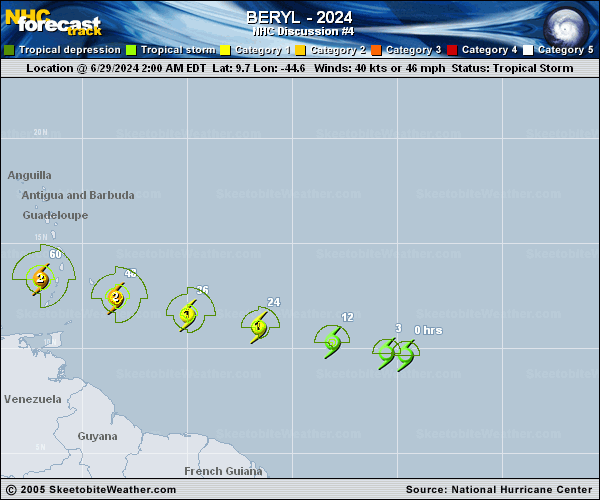
Copy of official data Tropical Storm Beryl Discussion Number 4 NWS National Hurricane Center Miami FL AL022024 1100 AM AST Sat Jun 29 2024 Satellite images indicate that Beryl has been strengthening at a quick pace. The storm is now more symmetric with the low-level center located beneath an expanding central dense overcast feature. Showers and thunderstorms are also organized in curved bands on the west side of the circulation. The initial intensity is increased to 55 kt, in agreement with the Dvorak estimate from TAFB, and Beryl is nearing hurricane strength. Beryl has been wobbling around, but the general motion has been westward at a fast 20 kt. A strong subtropical ridge should keep the storm moving generally westward at only a slightly slower forward speed for the next few days. This motion should take Beryl across the Windward Islands late Sunday night and Monday, and then across the eastern and central Caribbean Sea early next week. By the middle of next week, the cyclone might gain a little more latitude as it feels some influence from a weakness in the ridge, before another ridge builds to its northwest. The NHC track forecast has been nudged southward based on the trends in the latest model runs. The storm has been on a steady strengthening trend since it formed yesterday, and now that its structure is more symmetric and compact, it likely will have an opportunity to rapidly intensify given the low wind shear conditions. The new NHC intensity forecast explicitly calls for rapid strengthening and shows Beryl becoming a major hurricane before moving across the Windward Islands. The environment becomes a little less conducive after Beryl moves into the Caribbean Sea, and some increase in shear will likely end its strengthening phase and cause slow weakening toward the end of the period. This forecast shows more aggressive strengthening in the short term and a slightly higher peak intensity than the previous one, and is near the middle of the guidance envelope. Key Messages: 1. Beryl is expected to rapidly strengthen and be a major hurricane when it reaches the Windward Islands late Sunday night or Monday, bringing destructive hurricane-force winds and life-threatening storm surge. A Hurricane Watch is in effect for much of the Windward Islands. 2. Heavy rainfall and localized flooding is expected across the Windward Islands Sunday night and Monday. 3. Interests in the central and western Caribbean should monitor the progress of this system. Users are reminded that there is large uncertainty at days 4 and 5 and to not focus on the specific details of the track or intensity forecast. FORECAST POSITIONS AND MAX WINDS INIT 29/1500Z 10.0N 47.8W 55 KT 65 MPH 12H 30/0000Z 10.4N 50.5W 70 KT 80 MPH 24H 30/1200Z 11.1N 53.8W 85 KT 100 MPH 36H 01/0000Z 11.8N 57.3W 95 KT 110 MPH 48H 01/1200Z 12.6N 60.8W 100 KT 115 MPH 60H 02/0000Z 13.7N 64.3W 100 KT 115 MPH 72H 02/1200Z 14.9N 68.3W 100 KT 115 MPH 96H 03/1200Z 17.0N 75.5W 90 KT 105 MPH 120H 04/1200Z 18.7N 81.4W 80 KT 90 MPH $$ Forecaster Cangialosi |