Official Discussion issued by the National Hurricane Center
Leslie (AL132024) DATA RELEASED: 10/11/2024 3:00:00 PM UTC
|
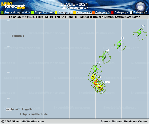
Copy of official data Tropical Storm Leslie Discussion Number 37 NWS National Hurricane Center Miami FL AL132024 1100 AM AST Fri Oct 11 2024 Leslie remains a sheared tropical storm. The low-level center is exposed about 70 n mi outside of the northern edge of the convective area, which has been shrinking and weakening over the past several hours. As a result, subjective Dvorak estimates from TAFB and SAB are both down to 45 kt. A pair of recently arriving ASCAT passes still show an area of 40-44 kt winds in the eastern semicircle. The initial intensity is set to 45 kt, which agrees well with the subjective Dvorak estimates and the ASCAT data. Leslie is likely currently experiencing more than 30 kt of north-northeasterly vertical wind shear. The cyclone will be moving toward an upper-level ridge axis over the next 12 to 24 h, which will cause the deep-layer shear to decrease. However, Leslie will reach sea-surface temperatures colder than 26C in about 24 h, and it is forecast to remain in a relatively dry low- to mid-level troposphere. Some slight additional weakening is forecast today, followed by little change in strength for the next couple of days. The intensity forecast is near the middle of the intensity model guidance envelope. The GFS and ECMWF simulated satellite imagery agree that the cyclone will lose its convection by 48 h, but phase-space diagrams suggest that Leslie could potentially become extratropical before that time, by 36 h. The NHC forecast continues to show Leslie becoming post-tropical over the weekend, in agreement with the aforementioned guidance. Leslie is still expected to dissipate by day 4, as shown by the global models. Leslie has been moving toward the north-northeast, or 015/9 kt, as the cyclone rounds the western periphery of a subtropical ridge. A strong frontal trough will approach Leslie from the west tonight into Saturday, causing Leslie to accelerate toward the northeast. Leslie's interaction with this frontal system could cause the cyclone to lose its tropical characteristics by Saturday night. On Sunday, the cyclone is expected to turn more towards the east within the mid-latitude westerly flow. No significant changes were made to the first 48 h of the official track forecast, with a slight southward adjustment at the 72 h point. The NHC track forecast is very near the TVCA consensus. FORECAST POSITIONS AND MAX WINDS INIT 11/1500Z 26.4N 50.5W 45 KT 50 MPH 12H 12/0000Z 28.4N 48.9W 40 KT 45 MPH 24H 12/1200Z 31.7N 45.1W 40 KT 45 MPH 36H 13/0000Z 34.6N 39.9W 40 KT 45 MPH...POST-TROPICAL 48H 13/1200Z 36.2N 34.4W 40 KT 45 MPH...POST-TROPICAL 60H 14/0000Z 36.8N 29.3W 35 KT 40 MPH...POST-TROPICAL 72H 14/1200Z 36.4N 24.6W 30 KT 35 MPH...POST-TROPICAL 96H 15/1200Z...DISSIPATED $$ Forecaster Hagen |