Official Discussion issued by the National Hurricane Center
(AL112024) DATA RELEASED: 10/1/2024 3:00:00 AM UTC
|
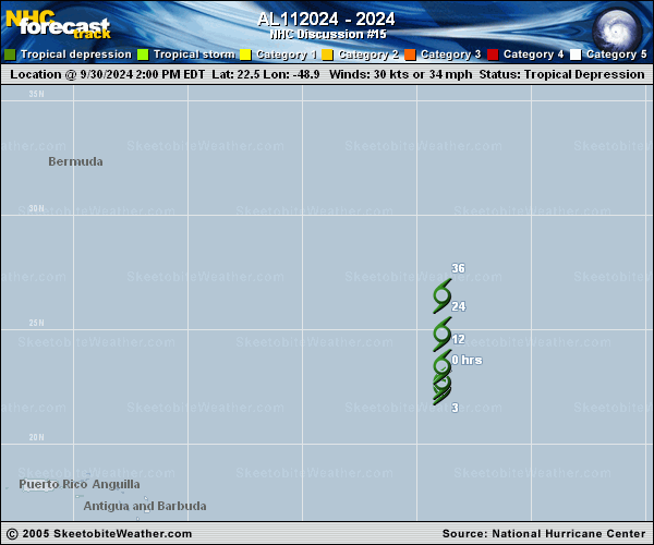
Copy of official data Remnants Of Joyce Discussion Number 15 NWS National Hurricane Center Miami FL AL112024 1100 PM AST Mon Sep 30 2024 Recent CIRA ProxyVis GOES imagery, and an ASCAT-C overpass around 00Z indicate that Joyce no longer has a well-defined center. Therefore, Joyce is no longer a tropical cyclone and this is the last NHC advisory. The ASCAT data indicated that winds of 25-30 kt are still occuring near the remaining convection associated with the remnants of Joyce. Joyce's remnants are expected to merge with a mid-latitude system and accelerate northeastward during the next couple of days. Additional information on this system can be found in High Seas Forecasts issued by the National Weather Service, under AWIPS header NFDHSFAT1, WMO header FZNT01 KWBC, and online at ocean.weather.gov/shtml/NFDHSFAT1.php FORECAST POSITIONS AND MAX WINDS INIT 01/0300Z 23.0N 49.0W 30 KT 35 MPH 12H 01/1200Z...DISSIPATED $$ Forecaster D. Zelinsky |