Official Discussion issued by the National Hurricane Center
Alberto (AL012024) DATA RELEASED: 6/20/2024 10:00:00 AM UTC
|
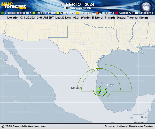
Copy of official data Tropical Depression Alberto Discussion Number 12 NWS National Hurricane Center Miami FL AL012024 1000 AM CDT Thu Jun 20 2024 Alberto made landfall earlier this morning near Tampico, Mexico. Satellite imagery depicts deep convection producing heavy rainfall over the higher terrain in Mexico. The center of the system has become more difficult to track, and is more ill-defined, as it moves inland. Given the lack of tropical-storm-force wind observations along the coast and the average decay over land, the intensity for this advisory is set to 30 kt. Therefore, Alberto has weakened into a tropical depression. The depression will continue to move quickly westward steered by a deep-layer ridge to the north. The system is moving farther inland over northern Mexico, and is forecast to continue to weaken over the higher terrain. A 12-hour forecast point is shown for continuity, with global model fields depicting the system dissipating later today. Alberto remains a large system and continues to produce moderate coastal flooding across portions of southern Texas, given the onshore wind flow. Heavy rainfall associated with Alberto will continue to impact northeastern Mexico throughout the day today, with considerable flash and urban flooding likely. Key Messages: 1. Rainfall associated with Tropical Depression Alberto will begin to diminish today across southern Texas. However, heavy rainfall will continue to impact northeastern Mexico, and life-threatening flooding and mudslides are likely in and near areas of higher terrain across the Mexican states of Coahuila, Nuevo Leon, and Tamaulipas, including the cities of Monterrey and Ciudad Victoria. 2. Moderate coastal flooding is likely along much of the Texas Coast through today's high tide, subsiding later this afternoon. 3. Swells generated by Alberto are affecting the coast of Texas and northeastern Mexico through Friday. These swells are producing life-threatening surf and rip current conditions. FORECAST POSITIONS AND MAX WINDS INIT 20/1500Z 22.3N 99.4W 30 KT 35 MPH...INLAND 12H 21/0000Z 22.1N 102.7W 25 KT 30 MPH...POST-TROP/REMNT LOW 24H 21/1200Z...DISSIPATED $$ Forecaster Kelly |