|
HURRICANE RELIEF:
1-800-HELP-NOW
AMERICAN
RED CROSS
Click here to view the Forecast/Discussion archive for this storm
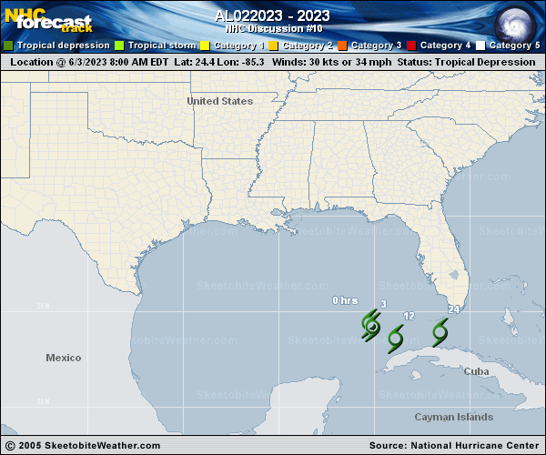
Post-Tropical Cyclone Arlene Discussion Number  10
NWS National Hurricane Center Miami FL       AL022023
500 PM EDT Sat Jun 03 2023

Arlene has lacked organized deep convection for quite some time now,
since about 07Z.  There have been a few short-lived small bursts of
convection in the northeast quadrant, but they have been getting
quickly sheared off and lack organization.  Therefore, Arlene no
longer meets the definition of a tropical cyclone and the system is
now a remnant low.  The initial intensity is estimated to be 25 kt
based on a partial ASCAT pass, surface observations, and the earlier
reconnaissance data.  Strong vertical wind shear and dry air should
continue to cause weakening, and this system is expected to open
into a trough on Sunday.

The low pressure area is moving south-southeastward at 6 kt.  A turn
to the east is expected tonight and that motion should continue
until the system dissipates.  The remnant low will likely enhance
rainfall over portions of southern Florida through tonight.

This is the last NHC advisory on Arlene.  For more information,
see High Seas Forecasts issued by the National Weather Service
under AWIPS header NFDHSFAT1, WMO header FZNT01 KWBC, and online at
ocean.weather.gov/shtml/NFDHSFAT1.php

FORECAST POSITIONS AND MAX WINDS

INIT  03/2100Z 23.7N  84.7W   25 KT  30 MPH...POST-TROPICAL
12H  04/0600Z 23.6N  83.2W   20 KT  25 MPH...POST-TROP/REMNT LOW
24H  04/1800Z...DISSIPATED

$$
Forecaster Cangialosi
 | 