Official Discussion issued by the National Hurricane Center
Twenty (AL202020) DATA RELEASED: 9/12/2020 9:00:00 PM UTC
|
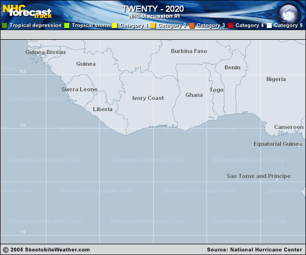
Copy of official data Tropical Depression Twenty Discussion Number 1 NWS National Hurricane Center Miami FL AL202020 500 PM AST Sat Sep 12 2020 The tropical wave and associated area of low pressure that NHC has been tracking since it emerged off of Africa a couple of days ago has become sufficiently organized to be designated as a tropical depression. A curved band of deep convection developed early this morning and persisted just to the west of a well-defined low level circulation throughout the day. An earlier ASCAT overpass showed that 25-30 kt winds over the northwestern portion of the circulation, which is the basis for the initial intensity being set at 30 kt. The depression has a rather large circulation, with the radius of maximum winds nearly 100 n mi from the center and the overall wind field appearing to extend outward over 300 n mi. The environment surrounding the cyclone over the next 36 h is characterized by moderate northeasterly vertical wind shear and plenty of warm water and atmospheric moisture. These factors are supportive of gradual strengthening, however, due to the large size of the system, it may take some time for it to consolidate. The NHC intensity forecast shows only slight strengthening through 36 h as the system consolidates, and that portion of the forecast is well below the intensity guidance. By early next week, the wind shear is expected to decrease to under 10 kt and a faster rate of intensification is indicated from 36-96 h in anticipation of the cyclone having a better structure to take advantage of the lower shear. After 96 h the intensity is held steady as northwesterly shear is forecast to increase while the system encounters some slightly drier air and moves over lower oceanic heat content. The NHC intensity forecast beyond 36 h starts well below most of the guidance, and trends close to the IVCN/ICON later on in the forecast period. The depression is moving toward the west-northwest at 8 kt, steered by a mid-level ridge to its north. This ridge is forecast to build westward over the next few days, which should result in a continued general west-northwest motion, perhaps at a slightly faster forward speed early next week. By the middle of next week, a weakness is forecast to develop in the ridge, partially due to interaction of Paulette and a mid- to- upper level trough over the northern Atlantic at that time, and the cyclone should turn to the northwest into this weakness. Overall, track guidance from the global and regional models is in decent agreement on this scenario, and the NHC forecast is between the HFIP corrected consensus HCCA and the TVCN multimodel consensus. FORECAST POSITIONS AND MAX WINDS INIT 12/2100Z 11.4N 33.5W 30 KT 35 MPH 12H 13/0600Z 11.5N 34.5W 30 KT 35 MPH 24H 13/1800Z 12.1N 36.1W 35 KT 40 MPH 36H 14/0600Z 12.8N 38.3W 40 KT 45 MPH 48H 14/1800Z 13.3N 40.7W 50 KT 60 MPH 60H 15/0600Z 14.0N 42.8W 60 KT 70 MPH 72H 15/1800Z 15.0N 44.5W 70 KT 80 MPH 96H 16/1800Z 17.7N 47.3W 80 KT 90 MPH 120H 17/1800Z 21.0N 49.7W 80 KT 90 MPH $$ Forecaster Latto |